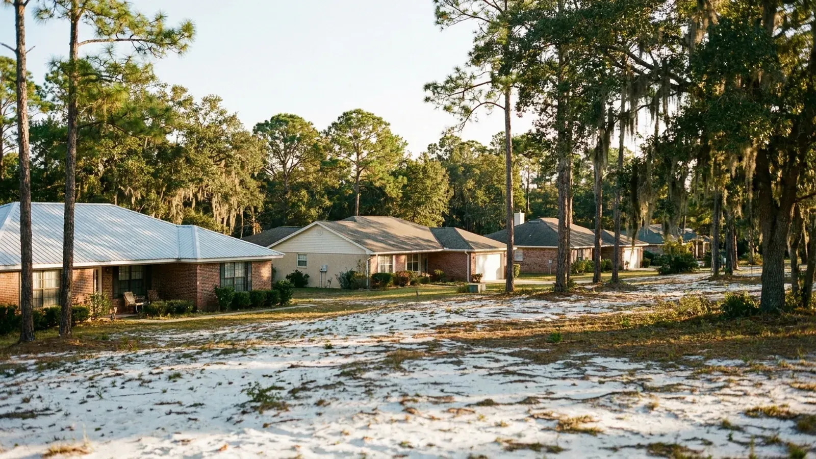
Pensacola Foundation Co. serves Escambia and Santa Rosa counties. Many local specialists don't charge for the assessment; ask when they call, and ask for probing and sounding for washout cavities, and ask to keep the written scope whether or not you hire the specialist.
Four situations, not two counties
Shoreline and waterfront
Groundwater near the surface, surge that arrives at the building rather than passing at a distance, and shoreline structures whose condition matters to the house behind them. On a barrier island the landform itself is moving sand, and elevated pile construction changes the assessment from cavities to scour.
Low ground and bay edge
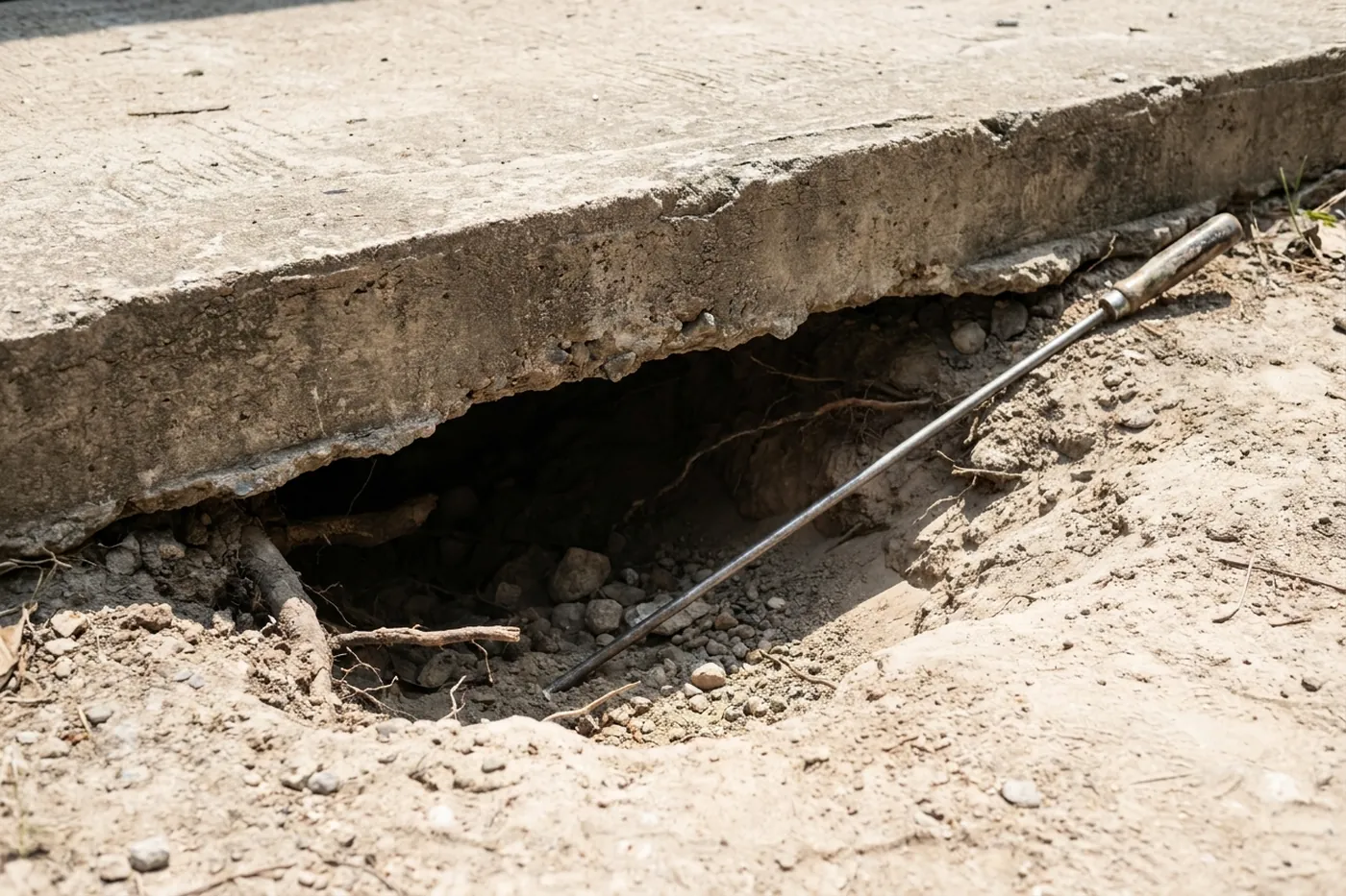
Very little vertical distance between the underside of a slab and saturated ground. Water leaving after a surge event removes material as readily as water arriving, and on older stock the losses have accumulated across decades of storms.
New development
Grading, roofs and pavement collect and concentrate water that used to spread across open land. The properties affected are frequently not the new ones but the older ones downhill, and the useful question is what changed upslope.
Rural and river
Long overland flow across acreage with little or no storm infrastructure, so where water goes is entirely a function of the land. At Milton there is real elevation between the bluff and the Blackwater bottoms, and the two behave differently.
What changes between them
| Situation | What to check first | Common finding |
|---|---|---|
| Waterfront | Shoreline structure and groundwater level | Material escaping at a failing bulkhead |
| Barrier island, elevated | Scour around pile bases | Sand level changes after storms |
| Low ground | Slab edge gaps and hollow areas | Loss on the drainage side after surge |
| Below new development | Where water now enters the lot | A channel that did not exist a decade ago |
| Acreage | Overland flow path across the property | Concentration well upstream of the house |
The same assessment everywhere
Probing and sounding for cavities, an exterior walk following where water concentrates, and a written scope separating support from fill with an assumed volume and an overage rate. See what the work costs or book a visit.
Service area questions
Is travel charged to Century or Perdido Key?
Ask about any travel charge when the specialist calls, and ask for a quote that prices the job rather than the drive. Travel has to be absorbed somewhere by any company, so where a competing number looks high for an outlying address, asking where the mileage sits is fair.
Why group by water rather than by county?
Because water is the mechanism. A waterfront lot in Gulf Breeze and one on Perdido Key face the same processes; a rural lot at Molino and one at Century face a different set. County lines do not track any of it.
My property does not fit any of these neatly.
Plenty do not, and the groups describe what is common rather than universal. Tell us where water enters your lot and where it leaves, and that places you far better than an address does.
Every town we cover, and what changes there
Each of these has its own page, because the ground and the housing stock are not the same across the region. The short version:
Gulf Breeze — Water on two sides changes the arithmetic
Gulf Breeze sits on a peninsula with Santa Rosa Sound on one side and Pensacola Bay on the other, which means a great many properties are close to a shoreline and sitting on sand that the water has been rearranging for a very long time. Read what that means for a Gulf Breeze property.
Perdido Key — The whole island is the mechanism
A barrier island is not land that happens to be sandy — it is an accumulation of sand shaped continuously by water and wind. Read what that means for a Perdido Key property.
Navarre — Very little elevation to work with
That has a direct consequence for foundations: the vertical distance between the underside of a slab and saturated ground is small, and during a surge event the water is not passing by at a distance — it is at the building. Read what that means for a Navarre property.
Warrington — Long exposure, established stock
Warrington has substantial older housing on low-lying ground close to the water. Read what that means for a Warrington property.
Pace — New construction moves water before it moves houses
Pace has absorbed substantial residential development, and every new subdivision changes drainage — ground is graded, roofs add impervious area, and water that used to spread across open land is now collected and concentrated. Read what that means for a Pace property.
Cantonment — Established housing, altered surroundings
Cantonment has long-standing residential areas alongside significant industrial land use, and industrial sites come with substantial drainage infrastructure — retention, ditching, culverts. Read what that means for a Cantonment property.
Milton — Bluff and bottom, one town
Milton sits along the Blackwater River and the ground is not uniform: there is genuine elevation between properties near the water and those up on higher ground. Read what that means for a Milton property.
Molino — Long overland flow
On acreage, water is doing most of its work before it gets near the house. Read what that means for a Molino property.
Century — Different ground, same principle
Century sits well inland of the coastal sands, and the soils up here are not identical to those around the bay. Read what that means for a Century property.
What it means when we say we cover a town
It means we pass your request to a local specialist for an evaluation at your address, on the same terms as in Pensacola. Ask for the same laser floor survey and crack measurements, a written scope afterwards, and travel quoted as its own line rather than buried inside the others. If a job is far enough out that travel is material, ask to see that number before you agree to anything.
Foundation work is scheduled, not urgent — which means an outlying address costs you nothing in response time.
These 9 communities share ground this site covers in enough depth to describe before anyone arrives. That is the honest boundary: not a radius drawn on a map, but the places whose soil and housing stock we explain here.
Coverage questions
Do you charge extra to come out to the outlying towns?
Travel is quoted as its own line when it applies, and you see it before agreeing to anything. It is never folded into the price of the work, because a scope you cannot read is a scope you cannot compare against anyone else's.
My address is not on the list. Do you still come?
Usually, and it is worth asking. The list is the area this site covers in depth, not a hard boundary. Somewhere between two of these towns is almost always a yes.
Is the first visit free, everywhere on this list?
Many local specialists don't charge for the first visit, but it depends on the company. Ask when the specialist calls, before they come out. Ask for the laser floor survey, crack measurements and written findings whether or not you go ahead, and whether or not the specialist ends up quoting the work.
Why does the price differ between towns for the same job?
Because the ground does. Each town page above explains what changes locally, and the quote follows what the visit measures at your specific address rather than an average for the region.
Book a Pensacola foundation assessment
The most useful thing you can tell us is when it started, and whether anything happened around then — a named storm, a week of hard rain, a broken line, a neighbour regrading their lot. On sand, damage follows events rather than seasons, so a date is worth more here than a description. A local specialist who works in Pensacola will call you back.